|
|
|
|
![]() USGS
Topographic map of Hollis
USGS
Topographic map of Hollis
![]() USGS
Aerial photograph of Hollis
USGS
Aerial photograph of Hollis
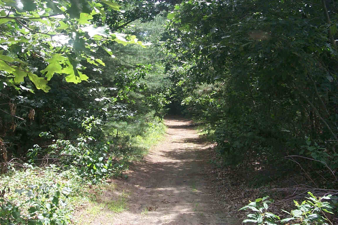
Looking south from the southern crossing of River Street in
Dunstable.
Digital photograph by Kenyon F.
Karl on July 6, 2000.
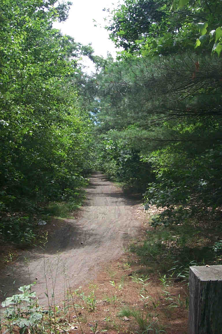
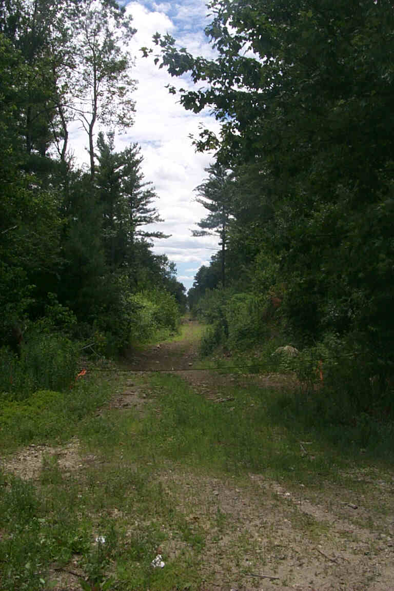
Looking south from the turn around at the end of Dutton Ln
(Hollis).
Digital photograph by Kenyon F.
Karl on July 6, 2000.
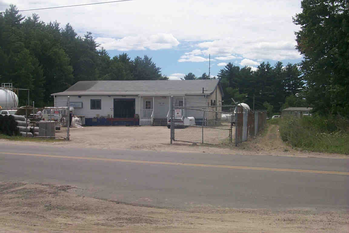
The propane transfer station on Route 111A at the
Nashua-Hollis line marks the current end of trail.
Digital photograph by Kenyon F.
Karl on July 6, 2000.
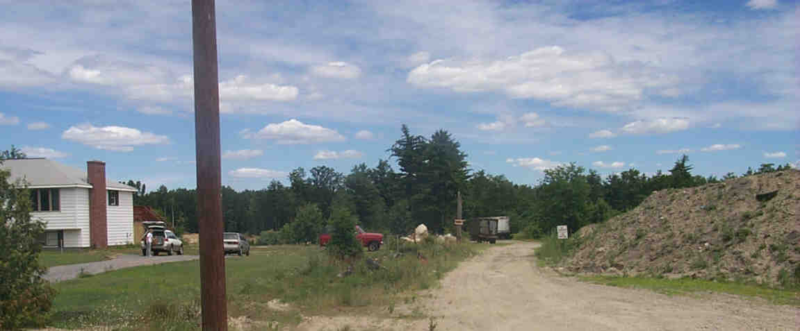
The potential extension of the trail
would continue north from Route 111A through a gravel pit.
Digital photograph by Kenyon F.
Karl on July 6, 2000.
The north end of the potential trail extension
at Gilson & Countryside Roads in Nashua.
Digital photograph by Kenyon F.
Karl on July 6, 2000.

 Simple trail access is available at the following locations:
River street (Dunstable) - 2 separate crossings
via a power line service road to River street (Dunstable)
via a Wildlife Area service road just south of the State Line to Hollis St (Dunstable)
via Depot Road to Groton Street (Nashua)
via Dutton Lane to Route 111A (Hollis)
Route 111A crossing (Hollis-Nashua Line)
 Limited parking may be available off of Dutton Lane (Hollis)
behind the propane transfer station.
Limited parking may be available off of Dutton Lane (Hollis)
behind the propane transfer station.
 A NH-DOT
Bike Route begins at the the State Line on Groton Road
and turns east onto Route 111A to reach downtown Nashua. Trail users can exit
the rail-trail at the turn around for Dutton Road (Hollis), immediately pass a
steel vehicle barrier, then travel southeast a short distance on Depot Road
(Nashua) to reach Groton Road.
A NH-DOT
Bike Route begins at the the State Line on Groton Road
and turns east onto Route 111A to reach downtown Nashua. Trail users can exit
the rail-trail at the turn around for Dutton Road (Hollis), immediately pass a
steel vehicle barrier, then travel southeast a short distance on Depot Road
(Nashua) to reach Groton Road.
No other trail facilities were observed in this vicinity.
Sign images are from the Manual of Traffic Signs by Richard C. Moeur.
Updated on March 31, 2001 by Kenyon F.
Karl <[email protected]>.
Unintentional errors are likely!
