![]() USGS
Topographic map of Hooksett
USGS
Topographic map of Hooksett
The Suncook-Hooksett rail-trail could easily become a short branch of the trail between Bow Jct and Candia that benefits the residents of Hooksett destined for Suncook and Concord. This rail-trail should be particularly important since the narrow and winding Route 3A is heavily used by trucks that do not wish to pay the turnpike tolls. Note that the old State Highway truss bridge at Hooksett will eventually be rehabilitated for bicycle-pedestrian usage and community celebrations.
A one-block section of the curved railroad bed has been paved for town road purposes south of Canal Street in the Allentown section of Suncook. A parking area for the Hooksett District Court uses a short section of riverside roadbed near Hooksett. Note that the tiny sawmill or the like just beyond the modern courthouse contains the bright blue body of a railroad boxcar that is obviously used for storage purposes.
Otherwise, the Webmaster did not see any evidence of public usage of the the abandoned railroad bed between Suncook and Hooksett. Nevertheless, the topographic map clearly suggests that this railroad bed is significantly elevated above the surrounding terrain, which should discourage its use for agricultural and other purposes!
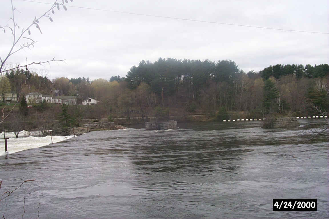
Some of the bridge abutments in the Merrimack River just north of Hooksett. Digital Photograph by Kenyon F. Karl on April 24, 2000.
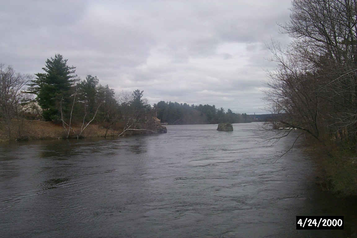
An island and more bridge abutments in the Merrimack River just north of Hooksett. Digital Photograph by Kenyon F. Karl on April 24, 2000.
Sign images are from the Manual of Traffic Signs, by Richard C. Moeur.
Updated on February 22, 2001 by Kenyon F.
Karl <[email protected]>.
Unintentional errors are likely
