![]() USGS
Topographic map of Rowes Corner
USGS
Topographic map of Rowes Corner
The rail-trail is obviously open northwest of Rowes Corner Lane. However, the topographic map suggests that the middle of this trail segment may have been destroyed by gravel pit operations or the like. In any event, the Webmaster is unable to determine whether the rail-trail is currently passable for the entire distance between Rowes Corner and Browns Brook!
The rail-trail is blocked by residential land usage on both sides of Route 27 at Rowes Corner, but this problem is easily bypassed on the lightly traveled Rowes Corner Lane and Chester Turnpike.
The rail-trail is apparently open east of Chester Turnpike (south of Route 27 just before the Town Line), however the Webmaster was unable to determine just how much of the trail is usable!
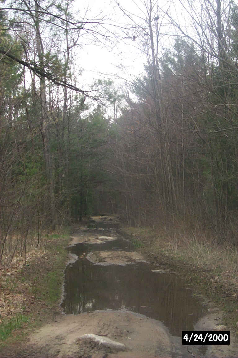
Looking northwest along the rail-trail from Rowes Corner Lane in Hooksett. Digital Photograph by Kenyon F. Karl on April 24, 2000.
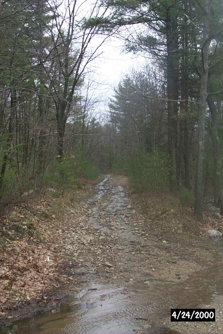
Looking east along the rail-trail from Chester Turnpike in Hooksett. Digital Photograph by Kenyon F. Karl on April 24, 2000.
No trail facilities were observed in the vicinity of Rowes Corner!
Sign images are from the Manual of Traffic Signs, by Richard C. Moeur.
Updated on February 22, 2001 by Kenyon F.
Karl <[email protected]>.
Unintentional errors are likely
