


|
|
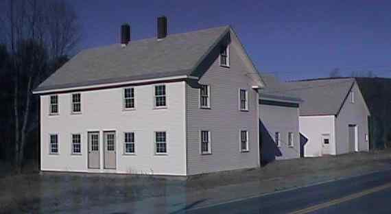
Newly reconstructed house adjacent to site of Converse Station. Digital photograph by Kenyon F. Karl on December 19, 1999.
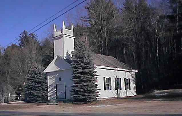
South Danbury Community Church. Digital photograph by Kenyon F. Karl on December 19, 1999.
Converse Station was located at a private road crossing just south of Walker Brook Road, across Route 4 from the South Danbury Christian Church.
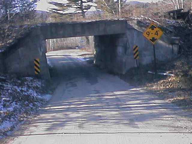
Very low road underpass at Walker Brook Road. Digital photograph by Kenyon F. Karl on December 19, 1999.
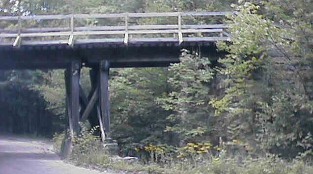
Railroad overpass at Roy Ford Rd. Digital photograph by Kenyon F. Karl on March 4, 1998
Trail access is available at the following points:
Jack Wells Road, about 0.7 mile south of Converse Station
The private road crossing at the site of Converse Station
No trail facilities were observed in this segment of the trail!
 Listed on the National Register
of Historic Places:
Listed on the National Register
of Historic Places:South Danbury Christian Church US 4 Danbury
 Hope Forest
is a 373 acre tract of land that is protected by the Society
for the Protection of New Hampshire Forests. Leave the Rail-trail
at Converse Station (across from the church), and proceed north on US Route 4
a short distance, then take a left onto Walker Brook Road (low underpass). Go
0.5 mile and make a right onto Roy Ford Rd. Go another 0.5 mile to SPNHF sign
and gate on left. Bikes are not allowed past the entrance gate. Trail does not leave directly from gate, walk down woods road
to trail head. [adapted from SPNHF Lands Map & Guide, 3rd edition 8/98, #71]
Hope Forest
is a 373 acre tract of land that is protected by the Society
for the Protection of New Hampshire Forests. Leave the Rail-trail
at Converse Station (across from the church), and proceed north on US Route 4
a short distance, then take a left onto Walker Brook Road (low underpass). Go
0.5 mile and make a right onto Roy Ford Rd. Go another 0.5 mile to SPNHF sign
and gate on left. Bikes are not allowed past the entrance gate. Trail does not leave directly from gate, walk down woods road
to trail head. [adapted from SPNHF Lands Map & Guide, 3rd edition 8/98, #71]
Any Mapblast Map on this Web Site is a link to the Mapblast Web Site which in turn leads to a Business Directory of the surrounding area.
Sign images are from the Manual of Traffic Signs by Richard C. Moeur.
Updated on February 14, 2001 by Kenyon F.
Karl <[email protected]>.
Unintentional errors are likely!
