


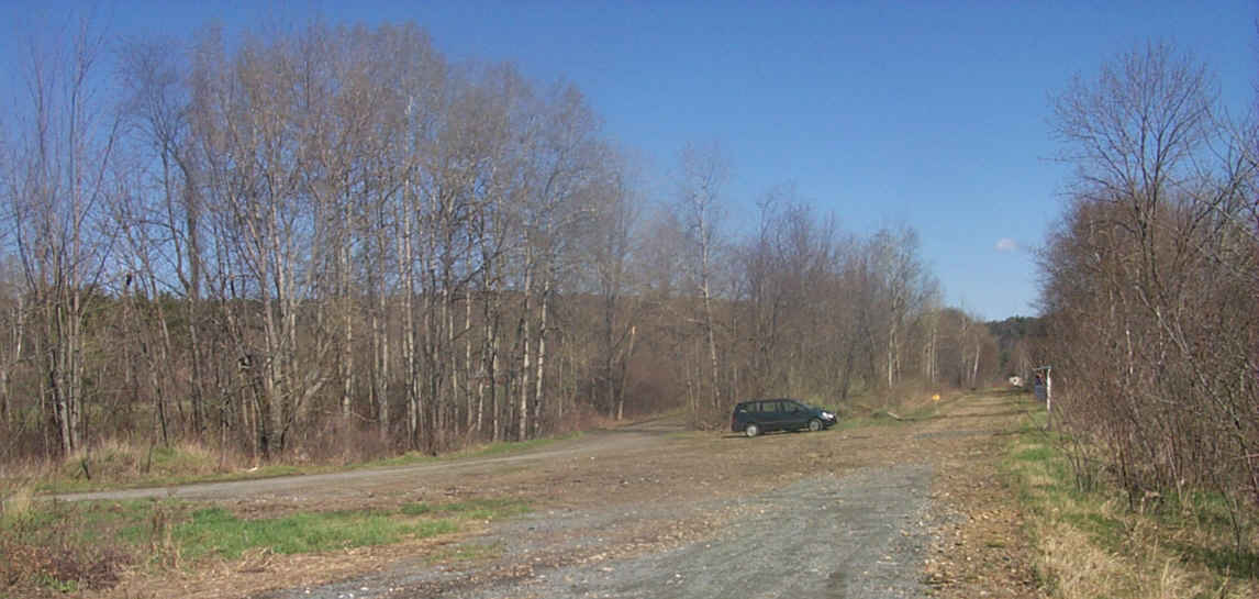
The presumed site of Mascoma Station. Digital photograph by Kenyon F. Karl on May 2, 2000.
|
|
This location was identified by the remains of a buried electrical cable at the station site, and confirmed by a conversation with the owner of the nearby convenience store.
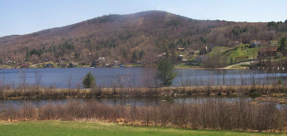
The rail-trail utilizes a causeway at three different places along Mascoma Lake. Digital photograph by Kenyon F. Karl on May 2, 2000.
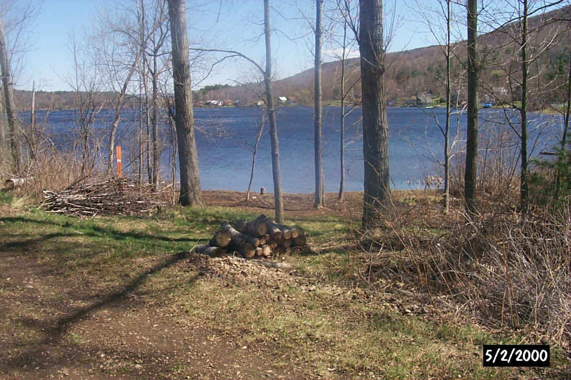
A future picnic area that was cleaned by trail volunteers on April 29th. Digital photograph by Kenyon F. Karl on May 2, 2000.
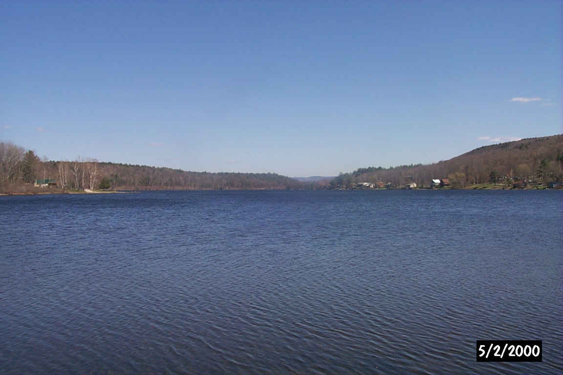
Lake Mascoma from the future picnic area. Digital photograph by Kenyon F. Karl on May 2, 2000.
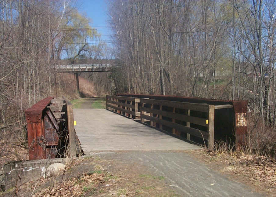
Looking across one of several Mascoma River Bridges at the nearby Payne Road underpass. Digital photograph by Kenyon F. Karl on May 2, 2000.
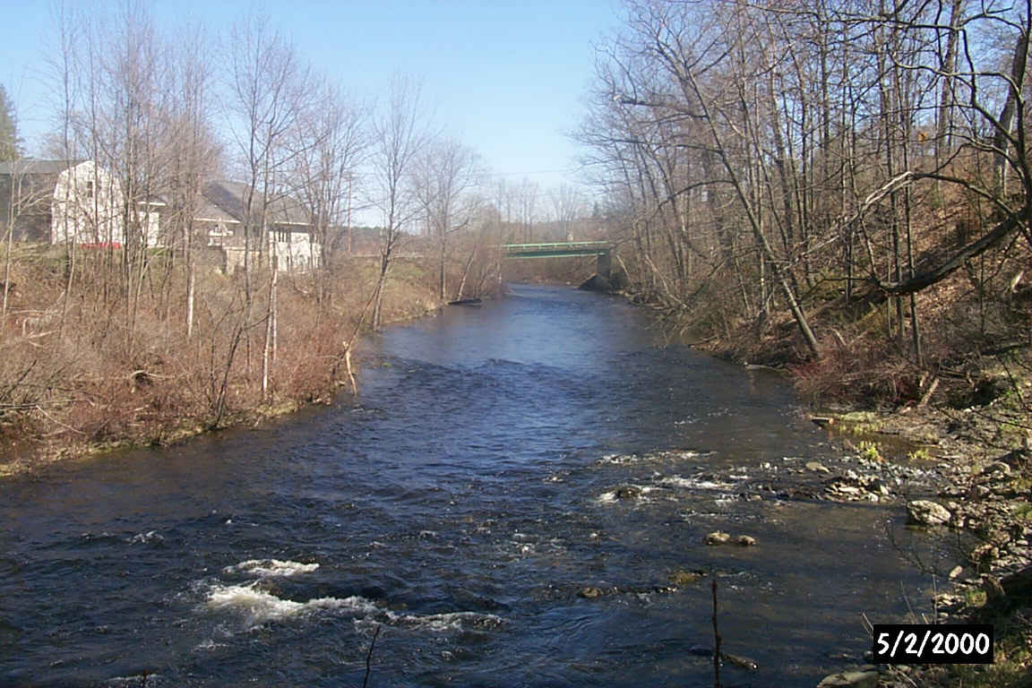
The Mascoma River from the bridge near Payne Road. Digital photograph by Kenyon F. Karl on May 2, 2000.
Simple trail access is available at the following points.
 The Advance
Transit Blue Route bus stops on signal anywhere along
Route 4, so that it is
conveniently accessible at the following points: Note that all Advance Transit busses now have bike racks!
The Advance
Transit Blue Route bus stops on signal anywhere along
Route 4, so that it is
conveniently accessible at the following points: Note that all Advance Transit busses now have bike racks!
 US Route 4 is a Statewide
Bicycle Route that roughly parallels the Rail-trail between Danbury and Lebanon.
Note however that this route detours via Route 4a, Shaker Bridge and Main St in
Enfield. A second Bike Route runs southeast via NH
Route 4A to Route 11 near Potter Place Station. The following trail access point thus forms a short connecting link to
both Bike Routes:
US Route 4 is a Statewide
Bicycle Route that roughly parallels the Rail-trail between Danbury and Lebanon.
Note however that this route detours via Route 4a, Shaker Bridge and Main St in
Enfield. A second Bike Route runs southeast via NH
Route 4A to Route 11 near Potter Place Station. The following trail access point thus forms a short connecting link to
both Bike Routes:


 Limited groceries, limited
hot take-out food and gasoline are
available at the Mascoma Village Store a short distance from the
site of the Mascoma Station via Ice House Road and about 100 feet
west along Route 4. Toilets & water are presumably available upon request.
The public telephone is on the front of the building. Their business hours are as follows:
Limited groceries, limited
hot take-out food and gasoline are
available at the Mascoma Village Store a short distance from the
site of the Mascoma Station via Ice House Road and about 100 feet
west along Route 4. Toilets & water are presumably available upon request.
The public telephone is on the front of the building. Their business hours are as follows:
Mill Street is a narrow gravel road roughly paralleling the trail that is closed to automobile traffic for most of its length, but nicely maintained as a scenic path. It begins at the intersection of Route 4 and 4A, then runs along the south bank of the Mascoma River to terminate near the Riverside Grill. Another narrow dirt road leaves Mill Road near its eastern end, descends sharply to cross the rail trail, then continues a short distance north to an old mill site. Ancient bridge abutments next to the mill site suggest that mill road may have one been the main road, and that it once crossed the river on a covered bridge just east of the mill site.
Two bridges on the eastern half of this section of the Rail-trail were finally provided with a solid deck and railings by the volunteers of the Twin State Trail Busters in October of 1999.

The foundation stones for an old mill at the west end of Mill Street. Digital picture by Kenyon F. Karl on April 30, 1999.

The Mascoma River near the west end of Mill Street. Digital picture by Kenyon F. Karl on April 30, 1999.
Sign images are from the Manual of Traffic Signs by Richard C. Moeur.
Updated on February 14, 2001 by Kenyon F.
Karl <[email protected]>.
Unintentional errors are likely!
