|
|
The Webmaster is unable to determine the location of Willey Station, but it is presumed to be in the vicinity of the Manchester Airport.
This page has been created to display current pictures of the old railroad right-of-way as it passes through the east side of the recently expanded grounds of the Manchester Airport. Due to the way that the airport expansion was executed, it is no longer possible to contemplate the extension of the rail-trail through the airport grounds!
|
|
![]() USGS
Topographic map of Willey
USGS
Topographic map of Willey
![]() USGS
Aerial photograph of Willey
USGS
Aerial photograph of Willey
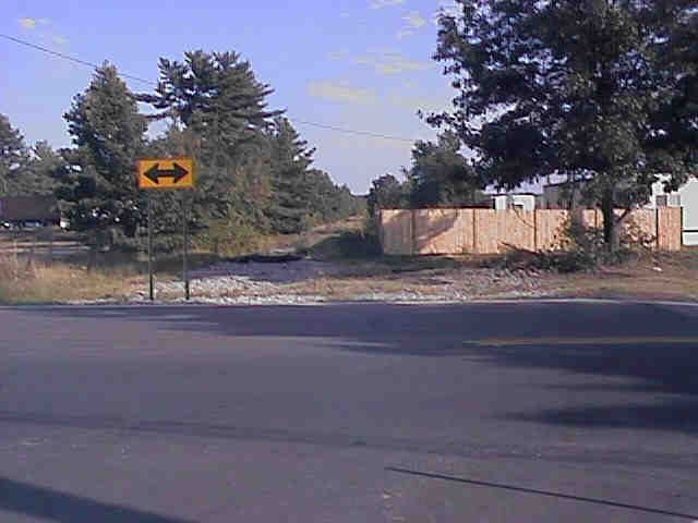
Looking south at old railroad bed from Kelly &
Perimeter Road.
Digital photograph by Kenyon F. Karl on July 21, 1999.
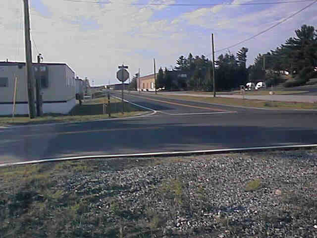
New road occupies old railroad bed running north from Kelly
& Perimeter Road.
Digital photograph by Kenyon F. Karl on July 21, 1999.
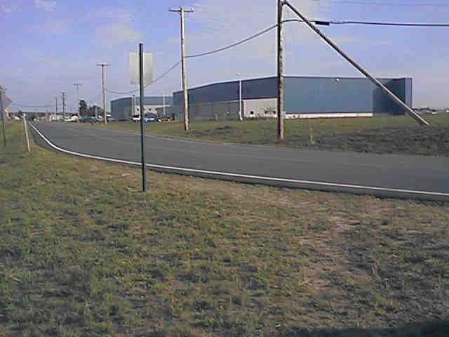
Looking south along new road on the old railroad bed from
the S-curve near its north end.
Digital photograph by Kenyon F. Karl on July 21, 1999.
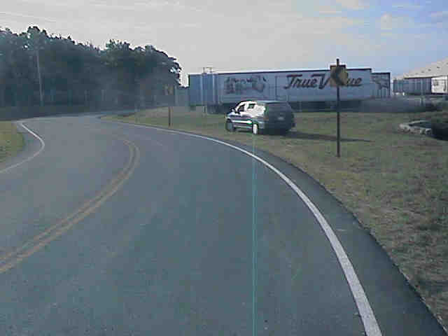
The new road leaves the old railroad bed at the S-curve
near its north end.
Digital photograph by Kenyon F. Karl on July 21, 1999.
Sign images are from the Manual of Traffic Signs, by Richard C. Moeur.
