|
|
|
|
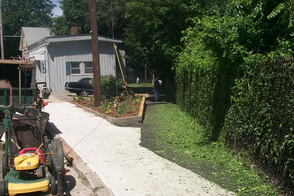
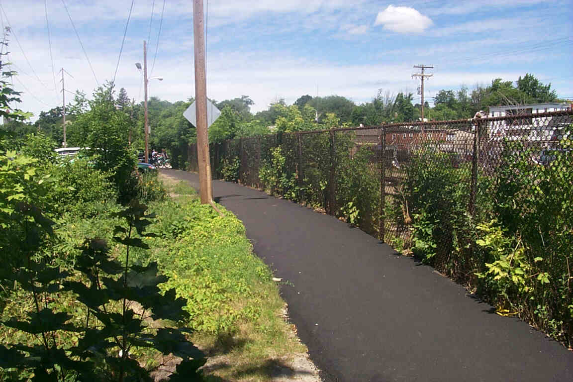
The trail begins on an asphalt sidewalk alongside a chain link fence near Temple & Spruce Streets. Digital photograph by Kenyon F. Karl on July 6, 2000.
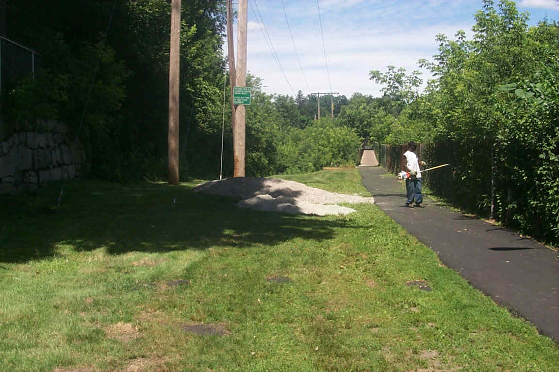
The trail simply follows the fence across the bridge. Digital photograph by Kenyon F. Karl on July 6, 2000.
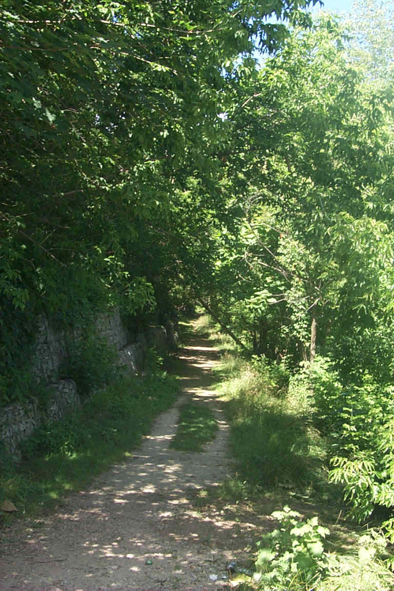
An unpaved side trail begins just southeast of the bridge, then drops sharply as it turns west to run along the riverbank. Digital photograph by Kenyon F. Karl on July 6, 2000.
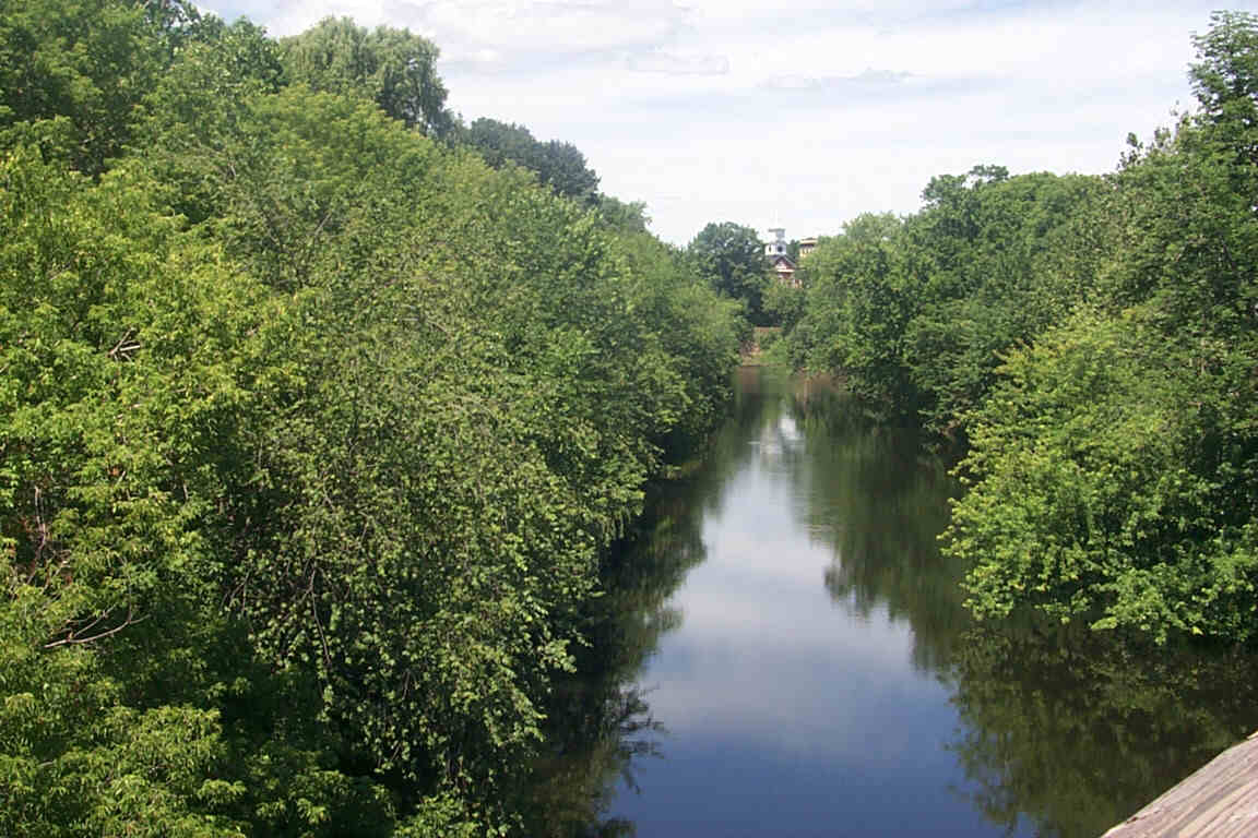
Looking west from the bridge down the Nashua River. Digital photograph by Kenyon F. Karl on July 6, 2000.
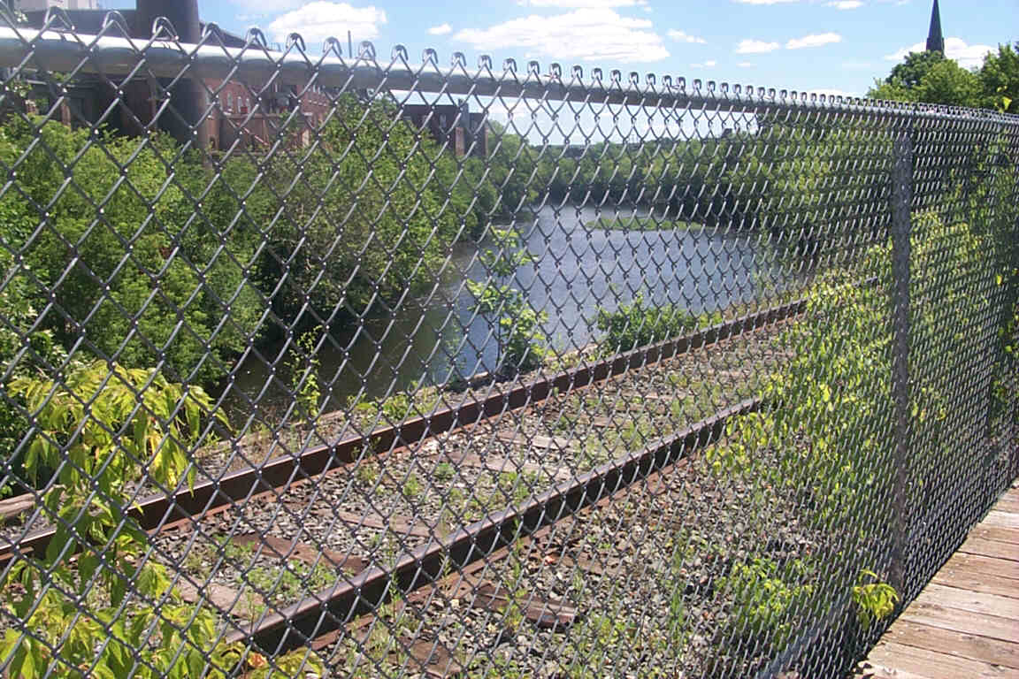
Looking east through the chain link fence at the adjacent railroad track and the river. Digital photograph by Kenyon F. Karl on July 6, 2000.
Near the northwest end of the trail at Nashua Street. Digital photograph by Kenyon F. Karl on July 6, 2000.
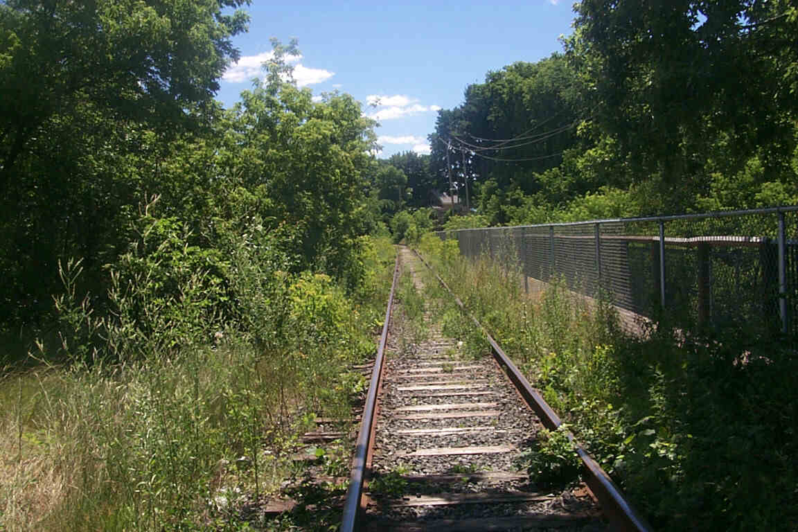
Looking southeast down the railroad track as it crosses the river. Digital photograph by Kenyon F. Karl on July 6, 2000.
 Nashua
Transit System provides city bus service from the Nashua Transit Center
on six routes that serve most parts of Nashua. Route 3 must stop on Canal Street near the the
Nashua Street end of the trail, while Route 7 must stop near the southeast end
of the trail as it turns from Temple onto Spruce Street. Note that the
Nashua city busses
do not have bike racks!
Nashua
Transit System provides city bus service from the Nashua Transit Center
on six routes that serve most parts of Nashua. Route 3 must stop on Canal Street near the the
Nashua Street end of the trail, while Route 7 must stop near the southeast end
of the trail as it turns from Temple onto Spruce Street. Note that the
Nashua city busses
do not have bike racks!
 Parking is available in a large lot just beyond the northwest end of the trail
on Nashua Street. However, empty parking spaces may be hard to find during the
business day.
Parking is available in a large lot just beyond the northwest end of the trail
on Nashua Street. However, empty parking spaces may be hard to find during the
business day.
 A Statewide
Bicycle Route passes near the northwest end of the trail
on Canal Street.
A Statewide
Bicycle Route passes near the northwest end of the trail
on Canal Street.
No other trail facilities were observed near the trail on July 6, 2000.
Sign images are from the Manual of Traffic Signs by Richard C. Moeur.
Updated on March 03, 2001 by Kenyon F.
Karl <[email protected]>.
Unintentional errors are likely!
