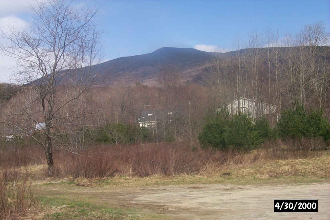
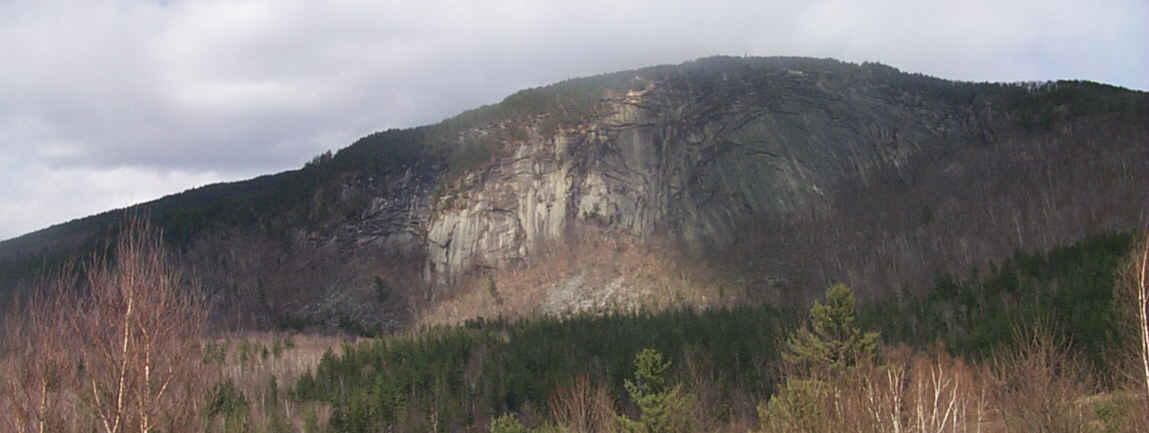
Moosilaukee Mountain from the Station Road crossing of the Rail-trail. Digital photograph by Kenyon F. Karl on April 30, 2000.
|
|
![]() USGS
Topographic map of Glencliff
USGS
Topographic map of Glencliff
The Railroad bed from Warren passes Swain Hill on its West side some distance from Route 25 and returns to the highway just north of the Glencliff settlement. The presumed location of Glencliff Depot was at a cellar hole beside the railroad bed about a quarter mile south of the Station Road Crossing.
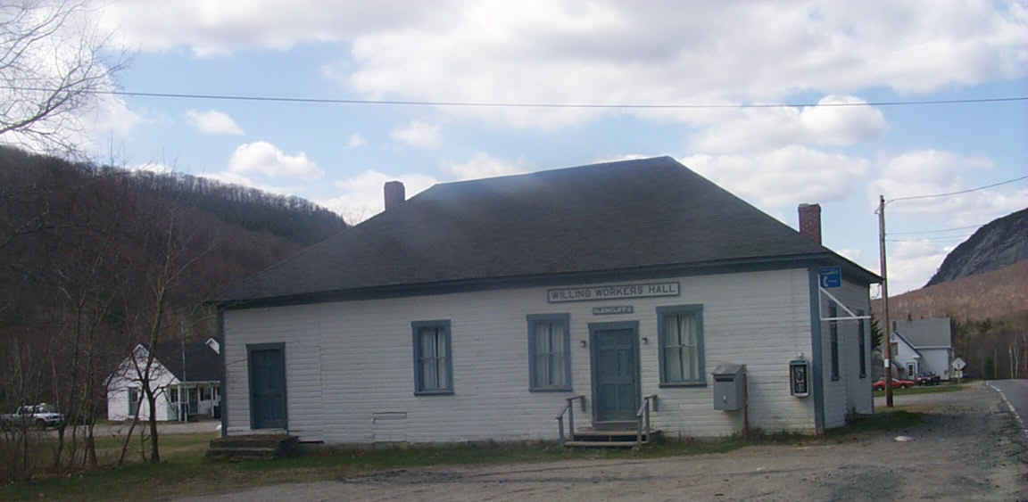
Willing Workers Hall is just north of the Route 25 end of Station Road. Digital photograph by Kenyon F. Karl on April 30, 2000.
The Rail-trail crosses the Appalachian Trail crossing perhaps a mile north of Glencliff, then crosses the town line to continue parallel to Route 25 for another mile or so.
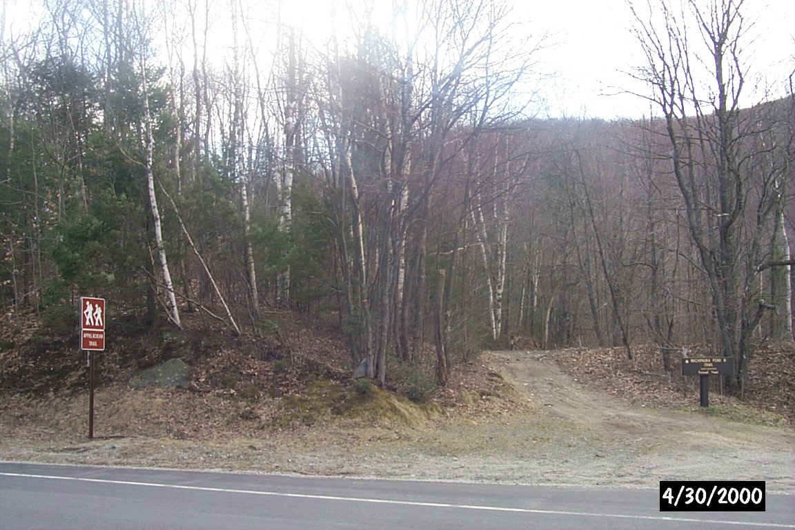
The Appalachian Trail crossing of the rail-trail. Digital photograph by Kenyon F. Karl on April 30, 2000.
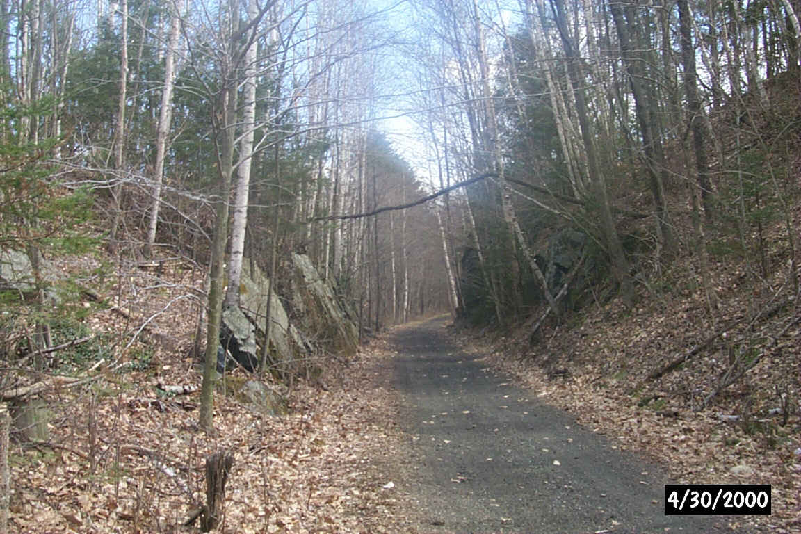
The rock cut just south of the Appalachian Trail crossing. Digital photograph by Kenyon F. Karl on April 30, 2000.
Highway relocation due to Olivarian flood control impoundment has destroyed the next couple of miles of the railroad bed. A short gravel ramp at each end of the missing railroad bed allows 'street legal' folks to use the paved breakdown lanes of Route 25 as a bypass. However a rough bypass trail through the woods parallel to Route 25 is also available to trail users. This section of the railroad bed and its bypass is apparently controlled by the White Mountain National Forest.
Owls Head from Route 25 near the end of the railroad bed. Digital photograph by Kenyon F. Karl on April 30, 2000.
Trail jurisdiction reportedly shifts somewhere north of Glencliff to the Connecticut River Snowmobile Club, which maintains its trails for winter usage only.
 A public telephone is located on the exterior of the
Willing Workers Hall on Route 25 a few feet north of Station Road.
A public telephone is located on the exterior of the
Willing Workers Hall on Route 25 a few feet north of Station Road.
 The Glencliff Post Office is located just north of
Station Road facing but set back from Route 25. The postmaster has provided a sheltered outdoor writing table and bulletin
board for the convenience of through hikers on the AT.
The Glencliff Post Office is located just north of
Station Road facing but set back from Route 25. The postmaster has provided a sheltered outdoor writing table and bulletin
board for the convenience of through hikers on the AT.
 A hikers hostel is located at a house on Route 25, a short distance north
of Station Road, identified by the sign 'Hikers Welcome' displayed in a window. This
privately operated hostel offers inexpensive accommodations for hikers on the
nearby Appalachian Trail, but will also accept Rail-trail users during the
hiking season.
A hikers hostel is located at a house on Route 25, a short distance north
of Station Road, identified by the sign 'Hikers Welcome' displayed in a window. This
privately operated hostel offers inexpensive accommodations for hikers on the
nearby Appalachian Trail, but will also accept Rail-trail users during the
hiking season.

 The
Appalachian Trail (AT) crosses the Rail-trail about 0.6 mile northwest of
Glencliff. Roadside parking is available on both sides of Route 25 near the
brown Appalachachian Trail signs.
The
Appalachian Trail (AT) crosses the Rail-trail about 0.6 mile northwest of
Glencliff. Roadside parking is available on both sides of Route 25 near the
brown Appalachachian Trail signs.
The AT runs south as the Wachipauka Pond Trail, intersecting with the Webster Slide Trail at 2.3 mi above the shore of the pond. The AT then continues south to Route 25C at which point it becomes the Ore Hill Trail. The spur trail is about 1500 feet long and climbs steeply to a ledgy outlook on Webster Slide Mountain that provides a spectacular view straight down onto Wachipauka Pond.
After a 150 foot jog to the northwest along Route 25, the AT runs north as the Town Line Trail to North and South Road at which point its name changes to Glencliff Trail. The trail then ascends Mooseulaukee Mountain in 3.9 miles with one steep section. A complete description of these trails is available in the AMC White Mountain Guide sold by the Appalachian Mountain Club.
Each location map on this Web Site is a link to a map on the Mapblast Web Site which in turn contains a link to a Business Directory of the surrounding area.
Sign images are from the Manual of Traffic Signs by Richard C. Moeur.
Updated on February 28, 2001 by Kenyon F.
Karl <[email protected]>.
Unintentional errors are likely!
