

& recreational railway vehicles
Local coordination is provided by:
Trails Rails Action Committee,
P. O. Box 111, Wakefield, N. H: 03872.
& recreational railway vehicles
|
|
![]() USGS
Topographic map of Brookfield
USGS
Topographic map of Brookfield
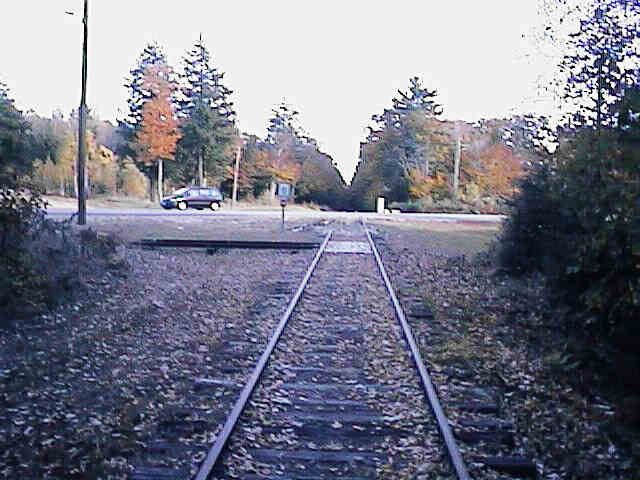
End of track for recreational railway vehicles at Route 16. Digital photograph by Kenyon F. Karl on October 13, 1997.
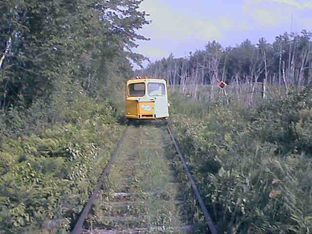
Privately owned railway maintenance car in the swamp west of Brookfield Station. Digital photograph by Kenyon F. Karl on June 13, 1999.
 The tracks northwest of Route 16 are used during the warm weather
months by privately owned railway maintenance cars operated for recreational
purposes under State OHRV law. These tracks are not used by railroad trains and
thus completely safe for trail purposes.
The tracks northwest of Route 16 are used during the warm weather
months by privately owned railway maintenance cars operated for recreational
purposes under State OHRV law. These tracks are not used by railroad trains and
thus completely safe for trail purposes.
 An old fashioned diner is adjacent to the Route 16 end of this
trail segment.
An old fashioned diner is adjacent to the Route 16 end of this
trail segment.
 Listed on the National Register of
Historic Places.
Listed on the National Register of
Historic Places.Brookfield Town Hall, NH 109 Brookfield
