


|
|
Trail pictures and narrative are arranged from south to north!
The location of this rural flag stop is accepted because its name corresponds to the name of a nearby country road that abruptly changes direction near the former railroad crossing. Note that the cross road is currently named Hunt Hill Road. Note that this crossing is quite similar in appearance to the Rand Road Crossing.
The trail crosses Route 202 in the middle of an S-curve a short distance north of Thomas. Trail users must use great care at this crossing because the high-speed traffic is not warned about the presence of trail users on the crossing!
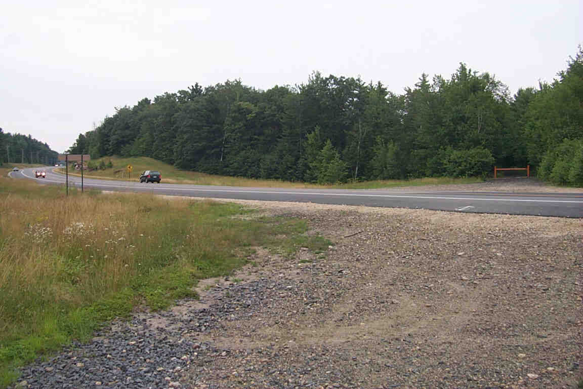
Looking northeast across the Route 202 Crossing.
Digital photograph by Kenyon F. Karl on July 24, 2000.
 'Street-legal' trail users can enter and exit the trail at the following points:
Hunt Hill Road Crossing (Thomas)
Route 202 Crossing
 Parking for perhaps two cars (or one with trailer) is available at the following
points:
Parking for perhaps two cars (or one with trailer) is available at the following
points:
Hunt Hill Road Crossing (Thomas)
Route 202 Crossing
No other trail facilities were observed in this vicinity!
Sign images are from the Manual of Traffic Signs by Richard C. Moeur.
Updated on February 22, 2001 by Kenyon F.
Karl <[email protected]>.
Unintentional errors are likely!
