


|
|
This rural train stop must have served the residents of the summer camps that surround the lake. The map indicates the Webmaster's best guess as to the approximate location of this station.
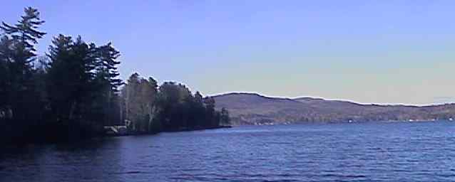
Looking northwest across Webster Lake from Lagace Beach. Digital photograph by Kenyon F. Karl on December 18, 1999.
Trail access is available at the following points:
 Rails and ties are still in place for a 6 mile stretch though
Halcyon Station and running east towards Webster Lake Station as of December 18,
1999. All ties have been removed but a thick layer of crushed stone ballast
remains in place on the railroad bed east and south of the end of the intact
track.
Rails and ties are still in place for a 6 mile stretch though
Halcyon Station and running east towards Webster Lake Station as of December 18,
1999. All ties have been removed but a thick layer of crushed stone ballast
remains in place on the railroad bed east and south of the end of the intact
track.
 Swimming is available at the
Lagace Beach. Lifeguard and bathhouse is available on a seasonal basis.
Swimming is available at the
Lagace Beach. Lifeguard and bathhouse is available on a seasonal basis.
 A sign at the intersection
suggests that a Bed & Breakfast is located a short distance north along the
Lake Shore from the snowmobile exit.
A sign at the intersection
suggests that a Bed & Breakfast is located a short distance north along the
Lake Shore from the snowmobile exit.
Any Mapblast Map on this Web Site is a link to the Mapblast Web Site which in turn leads to a Business Directory of the surrounding area.
