|
|
|
|
![]() USGS
Aerial photograph of Salem
USGS
Aerial photograph of Salem
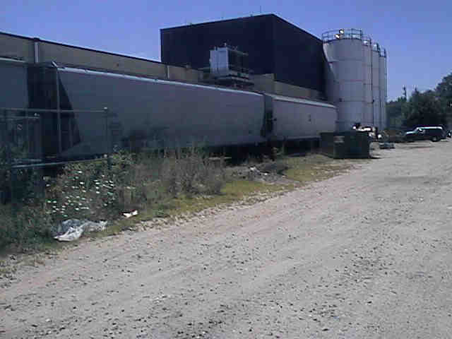
The still active industrial siding a quarter-mile south of Kelly Road.
Digital photograph by Kenyon F. Karl on July 21, 1999.
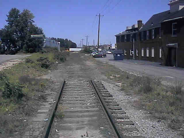
Abrupt end of track a few feet north of Kelly Road (behind the
Computer Town store).
Digital photograph by Kenyon F. Karl on July 21, 1999.
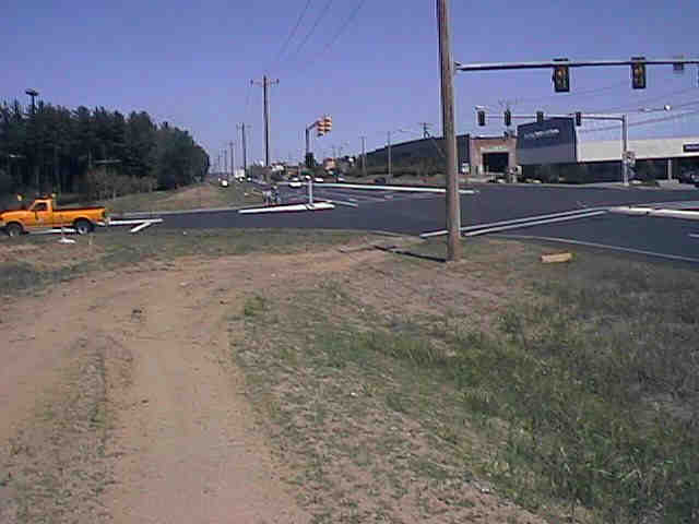
No provision for the Rail-Trail at the new entrance to the
Best Buy Store.
Digital photograph by Kenyon F. Karl on July 21, 1999.
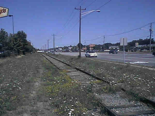
Looking north from Cluff Crossing Road.
Digital photograph by Kenyon F. Karl on July 21, 1999.
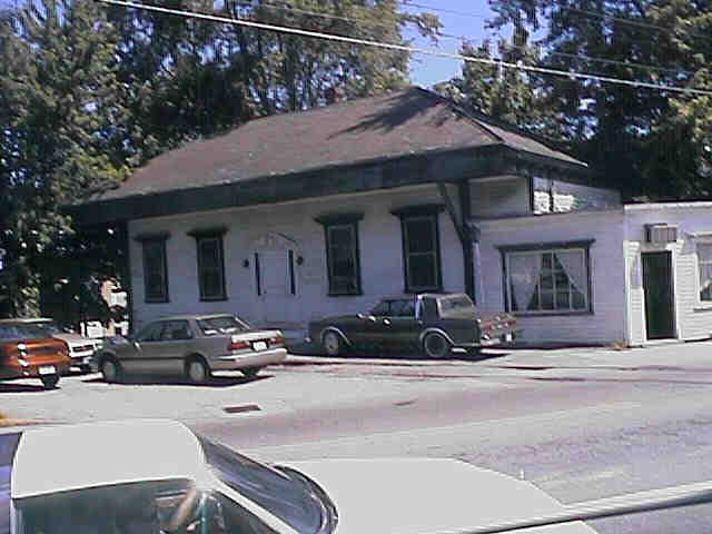
Former Salem Depot at the Route 97 crossing, currently used
for legal offices.
Digital photograph by Kenyon F. Karl on July 21, 1999.
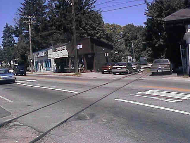
Stores adjacent to the former Salem Depot at the Route 97
crossing.
Digital photograph by Kenyon F. Karl on July 21, 1999.
Newspaper Articles:
Trailblazer forges her dream (July 7, 2000 - Eagle-Tribune)
 A Statewide
Bicycle Route crosses this potential extension of the Rail-trail
at Route 97 (Main Street - Salem Depot).
A Statewide
Bicycle Route crosses this potential extension of the Rail-trail
at Route 97 (Main Street - Salem Depot).
Sign images are from the Manual of Traffic Signs, by Richard C. Moeur.
