


 & recreational railway vehicles
Local coordination is provided by:
Trails Rails Action Committee,
P. O. Box 111, Wakefield, N. H: 03872.
& recreational railway vehicles
Click on the map to browse and for access to other features!
![]() USGS
Topographic map of Wolfeboro Falls
USGS
Topographic map of Wolfeboro Falls
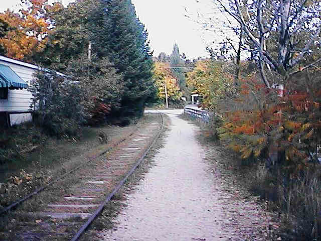
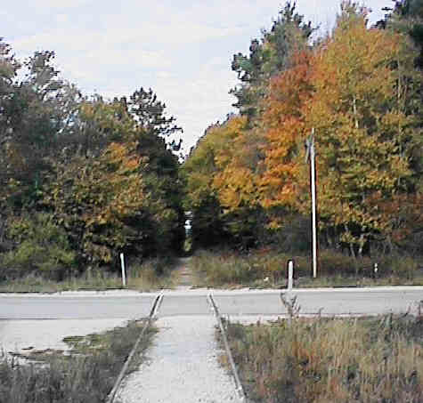
North from Route 28/109 crossing. Digital photograph by Kenyon F. Karl on October 13, 1997.
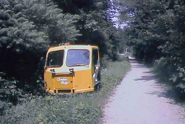
Railway maintenance car on the weed grown rails near the Route 28/109 crossing. Digital photograph by Kenyon F. Karl on June 13, 1999.
The abandoned railroad track is still in place north of Wolfeboro Falls, however a gravel walkway has been created alongside the track up to the first causeway.
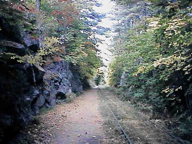
In rock cut north of Crescent Pond Road. Digital photograph by Kenyon F. Karl on October 13, 1997.
The gravel footway crosses to the other side of the track to pass through a rock cut. Note that the trail occupies the space that would otherwise be used for a drainage ditch along the track. A drainage ditch is still in place on the far side of the track
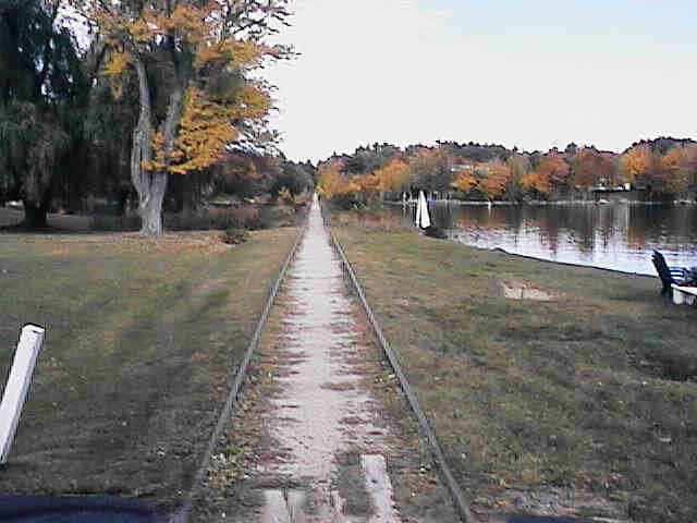
North from Silver St. (Crescent Lake Causeway). Digital photograph by Kenyon F. Karl on October 13, 1997.
The gravel footway then runs between the rails across the first of two causeways along Lake Wentworth.
North across Whitten Pond Rd (End of improvements). Digital photograph by Kenyon F. Karl on October 13, 1997.
This gravel surface currently ends at Whitten Point Road, just beyond the end of the first causeway. Unfortunately, the trail is not suitable for hiking and biking purposes north of that point!
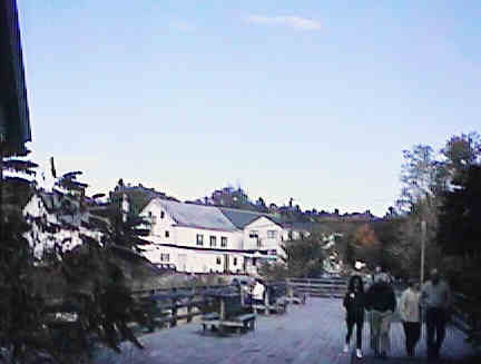
The well maintained gravel footway of the Honorable Russell Chase Memorial Path totally replaces the railroad track south of Wolfeboro Falls, beginning next to the parking area. The path crosses a wide wooden deck with benches across the brook next to the ruins of the excelsior mill, then continues through the woods on a lighted gravel path south to Wolfeboro.
North across Wooden Deck. Digital photograph by Kenyon F. Karl on October 13, 1997.
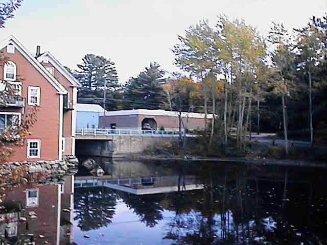
Across the mill pond to the Wright Museum. Digital photograph by Kenyon F. Karl on October 13, 1997.
 The tracks northeast of Route 28 Crossing are used during the warm
weather months by privately owned railway maintenance cars operated for
recreational purposes under State OHRV law. These tracks are not used by
railroad trains and thus are completely safe for trail purposes.
The tracks northeast of Route 28 Crossing are used during the warm
weather months by privately owned railway maintenance cars operated for
recreational purposes under State OHRV law. These tracks are not used by
railroad trains and thus are completely safe for trail purposes.
 Limited Public Parking is available on the site of the former railroad station
(southwest side of Route 28 Crossing).
Limited Public Parking is available on the site of the former railroad station
(southwest side of Route 28 Crossing).
 The Wright Museum is
located a short distance south of the Route 28 trail crossing.
The Wright Museum is
located a short distance south of the Route 28 trail crossing.
Updated on December 07, 2001 by Kenyon F. Karl <[email protected]> using information collected on June 13, 1999. Unintentional errors are likely!
Sign images are from the Manual of Traffic Signs by Richard C. Moeur.
