![]() USGS
Topographic map of Garvins Falls
USGS
Topographic map of Garvins Falls
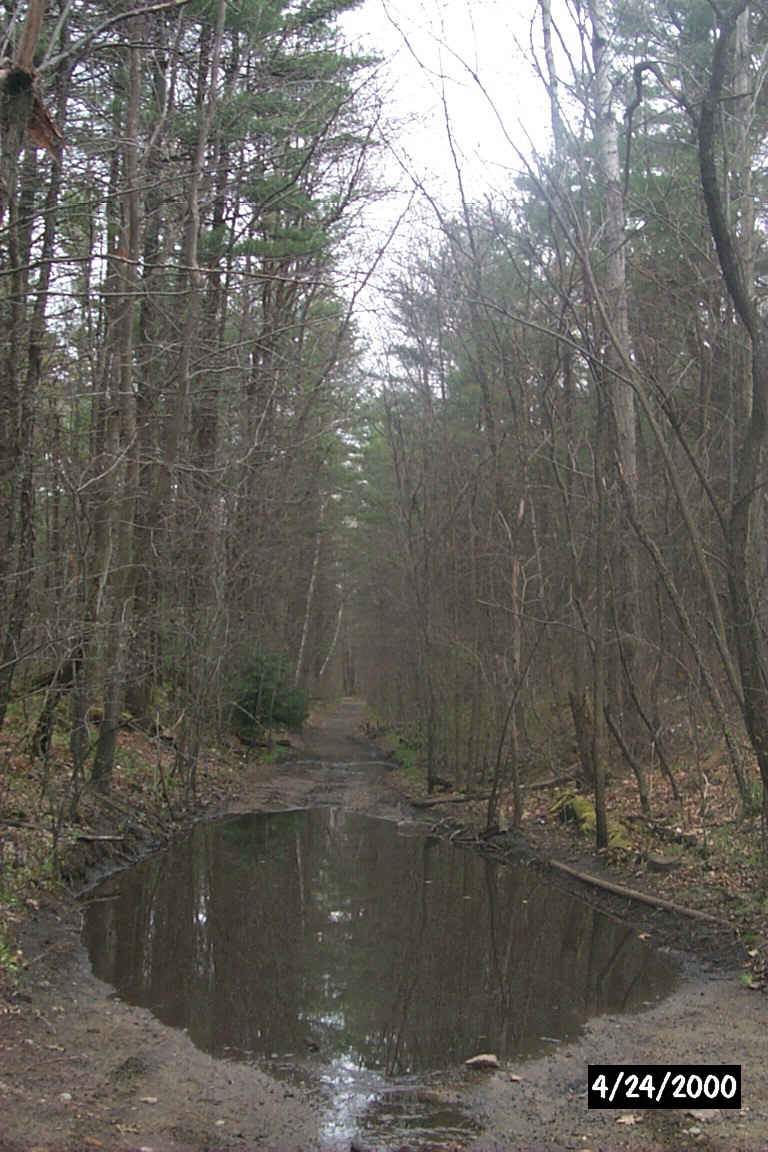
A mud puddle illustrates the effects of decades of neglect of the trail. Digital Photo by Kenyon F. Karl on April 24, 2000.
Garvins Falls Road from Route 3 southeast of Concord appears to be the only means of access to the segment of rail-trail between Bow Junction and the Soucook River. Easy access is available at the very end of this rather long road, while a rather steep path almost directly to the falls is available from this road under the power transmission lines.
 Limited parking is
available at the very end of Garvins Falls Road.
Limited parking is
available at the very end of Garvins Falls Road.


 A Dunkin Donuts Shop is located on Route 3 at the intersection of Garvins Falls
Road. The store features an beverages, donuts, muffins, bagels, and egg
sandwiches. The store is open daily from 3:30 am to 10 pm. Toilets and water are
presumably available upon request.
A Dunkin Donuts Shop is located on Route 3 at the intersection of Garvins Falls
Road. The store features an beverages, donuts, muffins, bagels, and egg
sandwiches. The store is open daily from 3:30 am to 10 pm. Toilets and water are
presumably available upon request.
 Concord Area Transit - South
Route stops near this intersection. Note that this bus does not
accommodate bicycles!
Concord Area Transit - South
Route stops near this intersection. Note that this bus does not
accommodate bicycles!
Sign images are from the Manual of Traffic Signs, by Richard C. Moeur.
Updated on February 22, 2001 by Kenyon F.
Karl <[email protected]>.
Unintentional errors are likely
