


|
|
![]() USGS
Topographic map of Highlands
USGS
Topographic map of Highlands
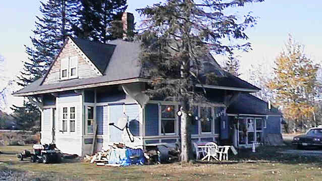
Former Highlands Station. Digital photograph by Kenyon F. Karl on October 23, 1997.
The former Highlands Station is currently used as a private residence.
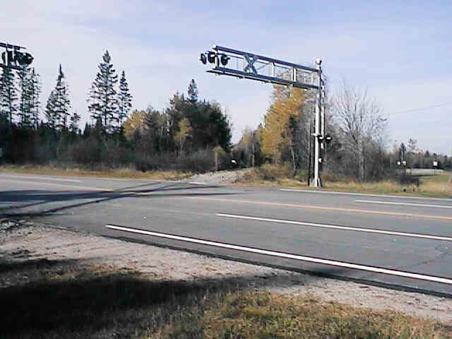
Looking west across Route 115 Crossing. Digital photograph by Kenyon F. Karl on October 23, 1997.
The relatively new Route 115 crossing is about a quarter-mile west of the Highlands Station. The elaborate grade crossing signals still guards a track that is still in place only for the width of this four-lane highway.
Note that the Mapblast Map does not accurately reflect the path of Route 115 in this area.
There are no observable trail facilities in this area!
Sign images are from the Manual of Traffic Signs by Richard C. Moeur.
Updated on February 28, 2001 by Kenyon F.
Karl <[email protected]>.
Unintentional errors are likely!
